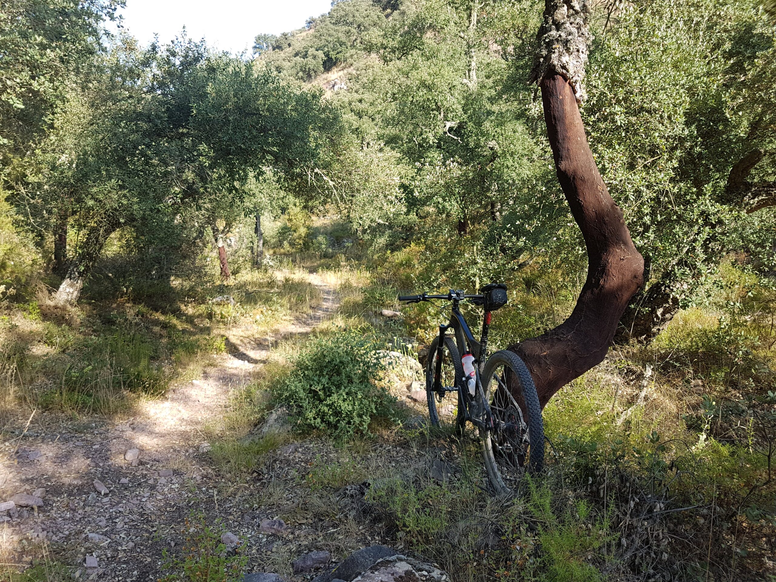
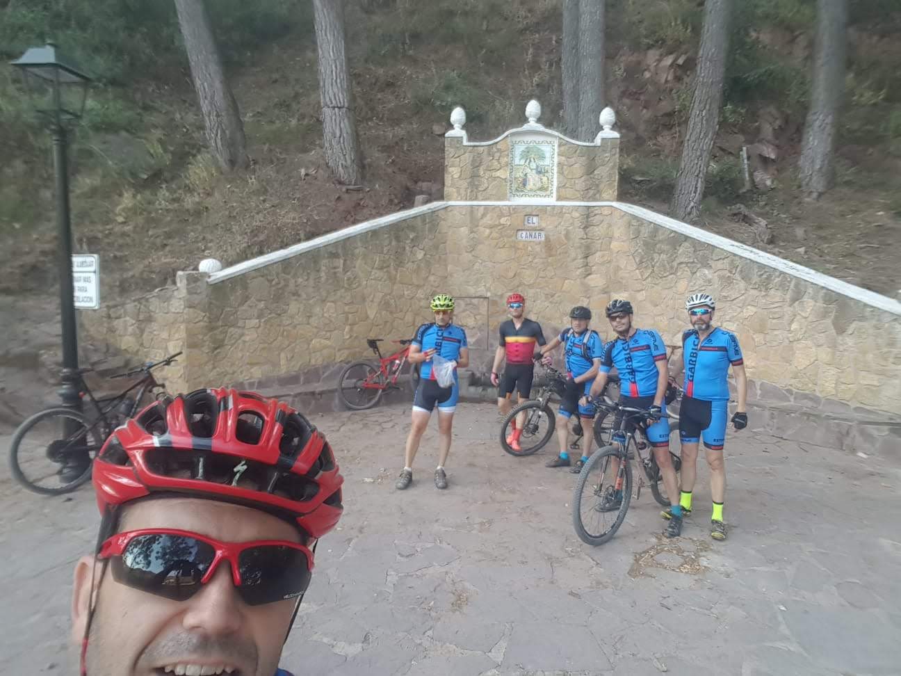
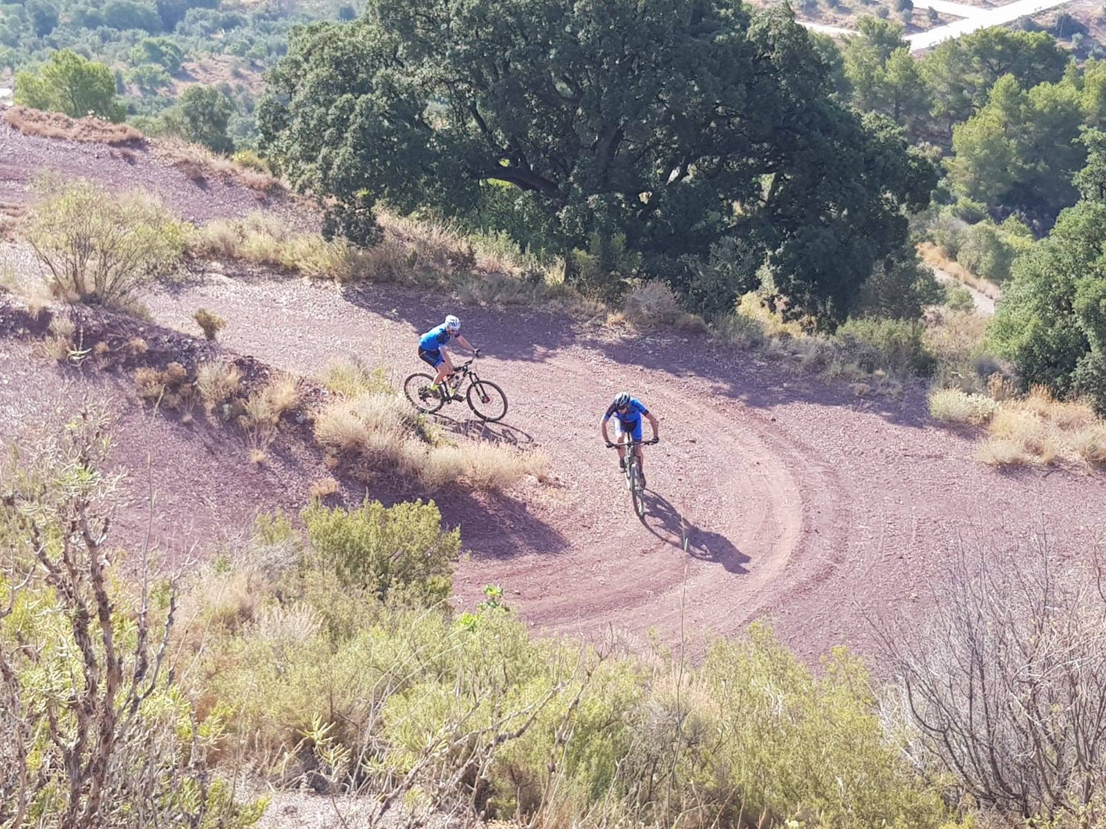
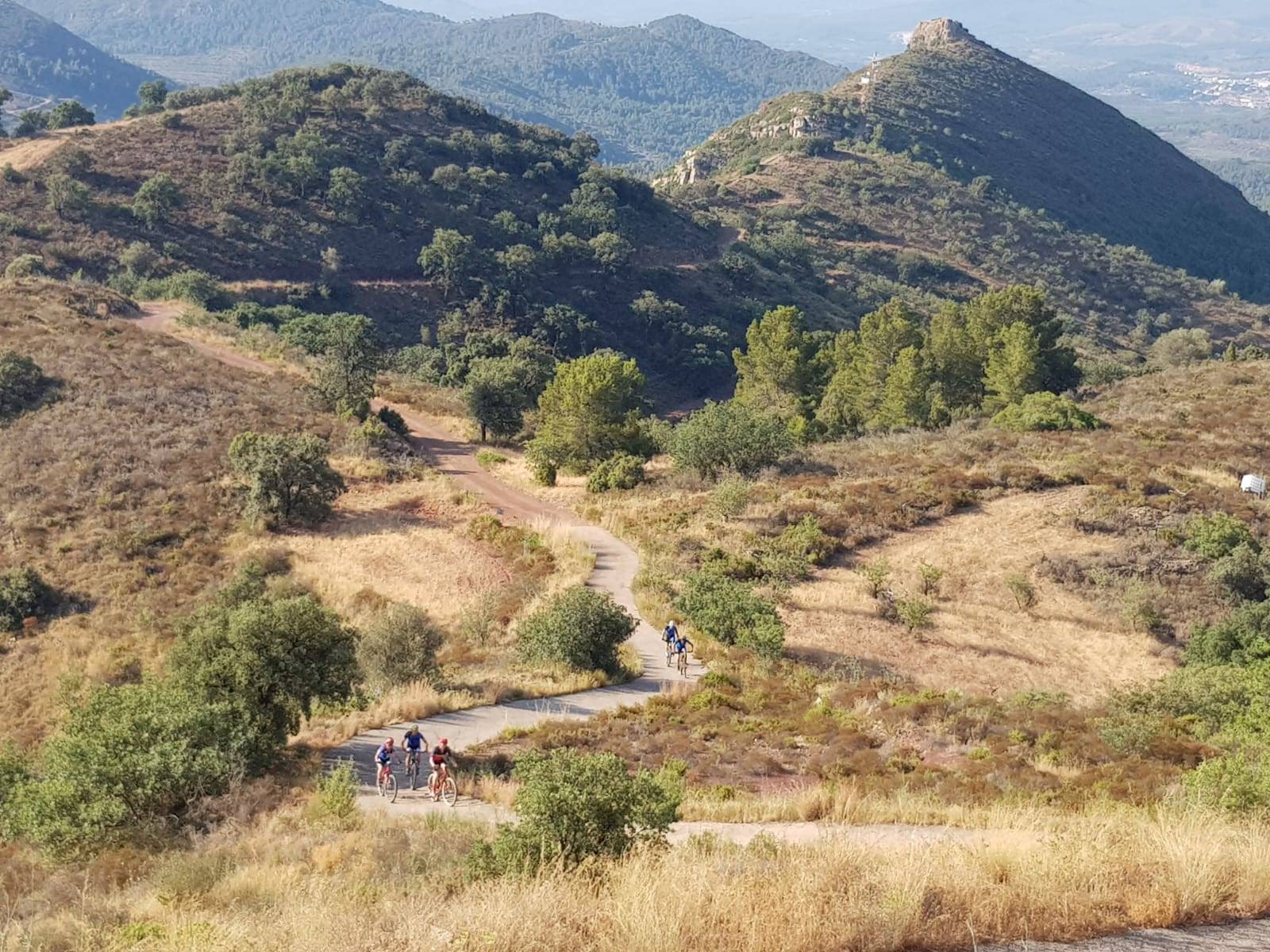
Algimia de Almonacid, por Rodana y Balsillas
- Fecha: 14 de Julio de 2019.
- Hora: 07:00
- Distancia: 73 km
- IBP: 101
- Track: Descargar
- Asistentes: Catalín Sorica, José F. Sanchez, José A. Devís, José M. Lozano, José R. Serrano y Paco Arnau
- Actividad STRAVA: https://www.strava.com/activities/2530933319
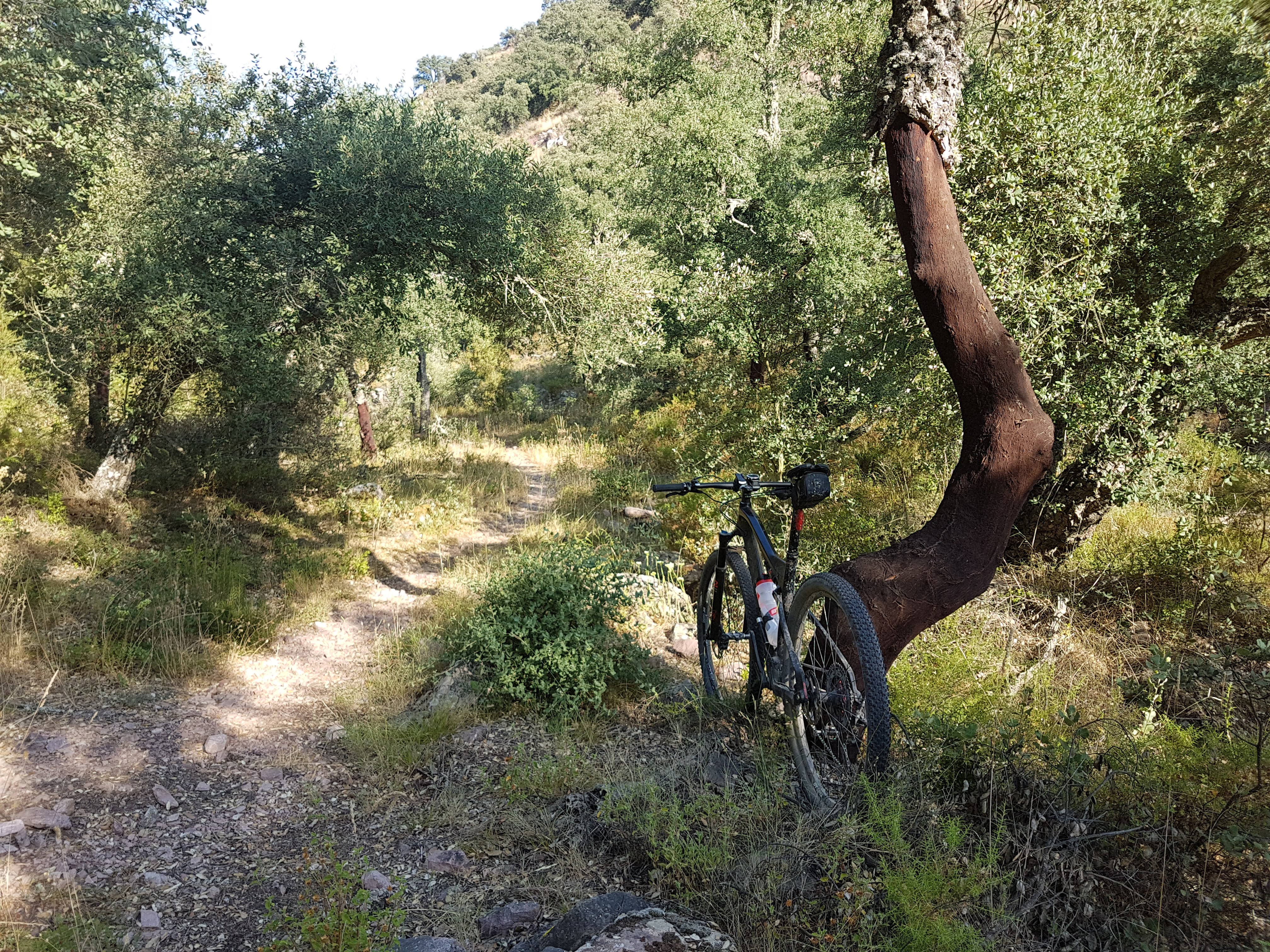
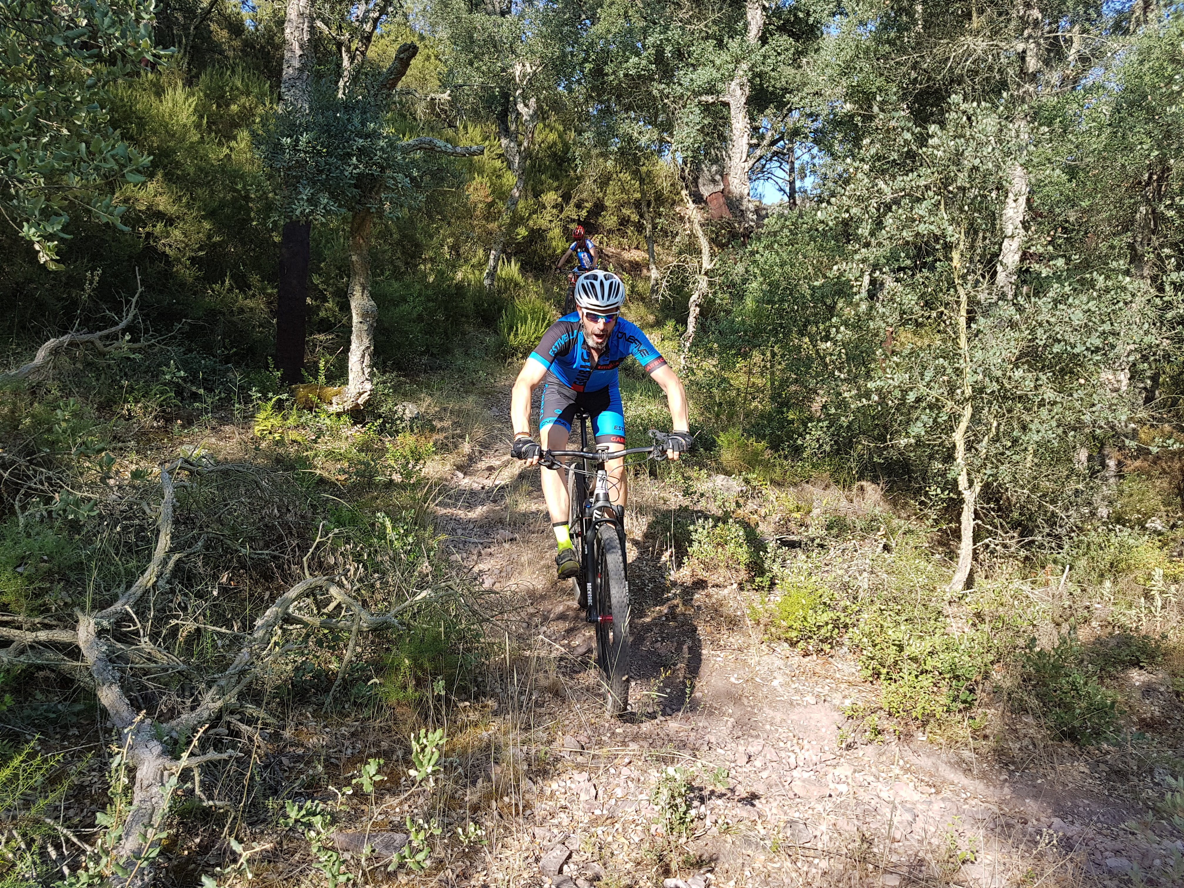
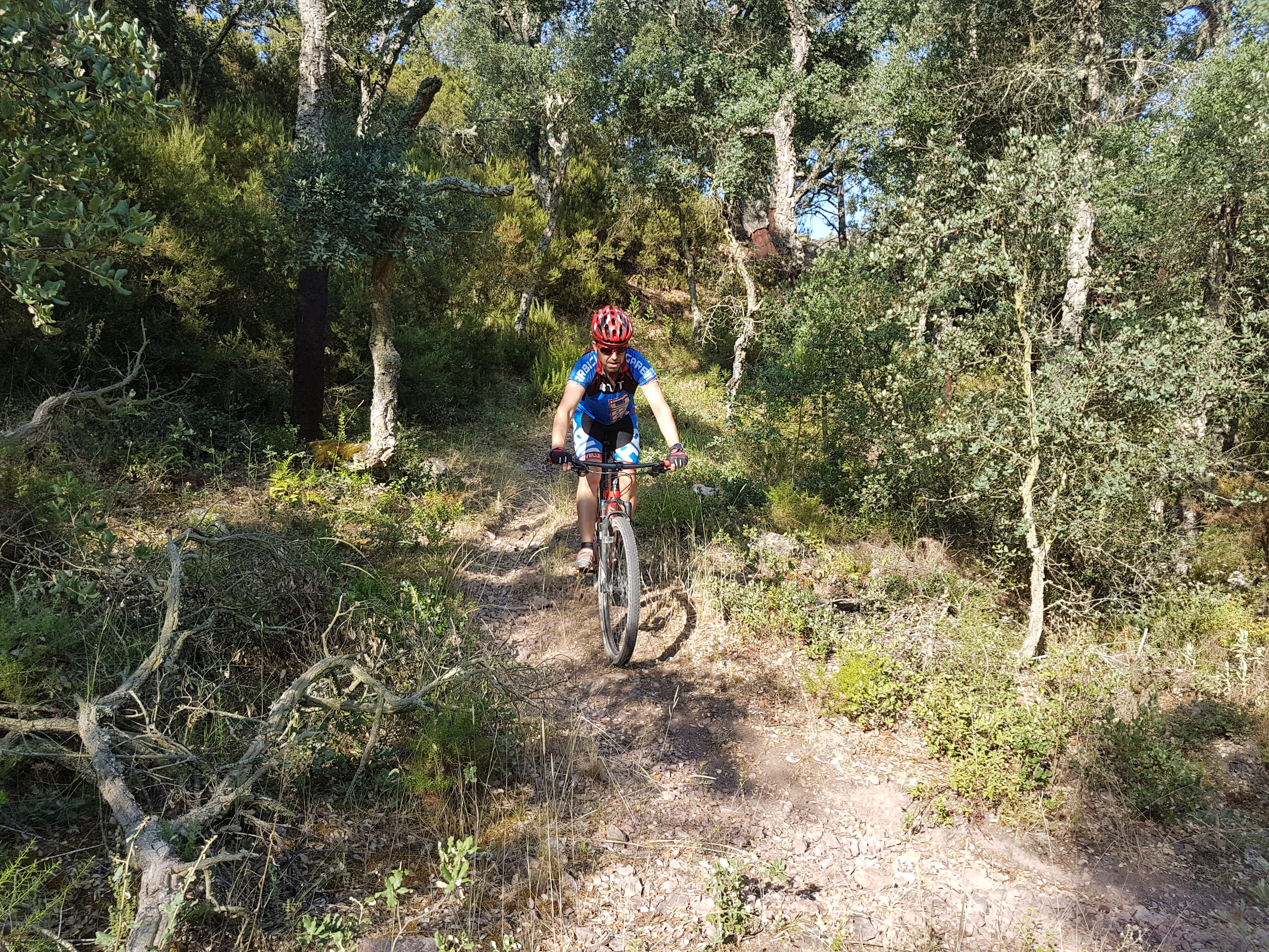
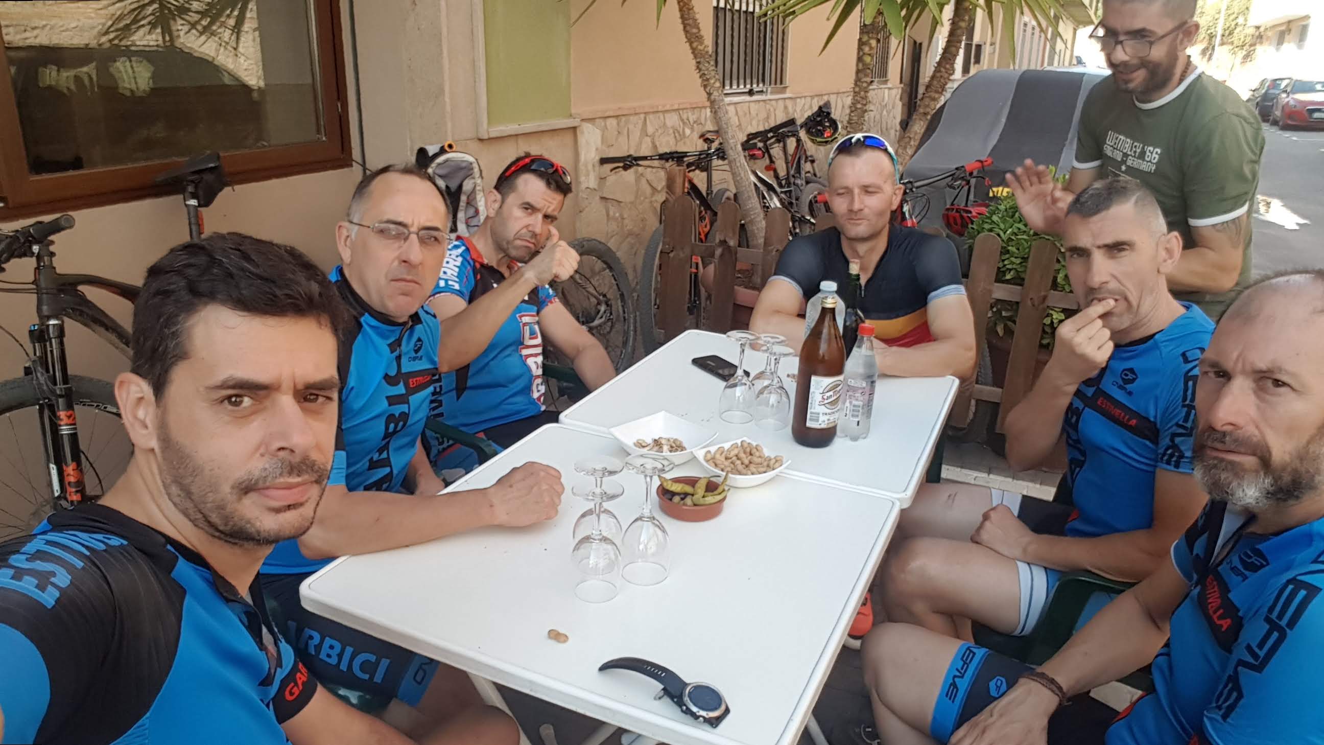
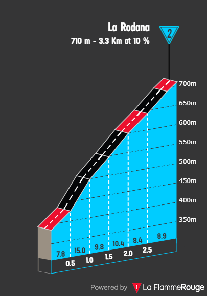
Map of the route “Algimia de Almonacid, por Rodana y Balsillas”: 73.031 m, 1.371 m of climbing and 1.370 m of descent, elevation between 114 m and 711 m, time 05:49:02. It is a loop that starts and ends at 39.71589, -0.34921 (latitude, longitude).